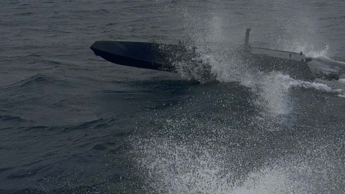
Sensor to mission
An operator drags a box on live video and the vessel has a waypoint.
The gimbal locks and ray casts to the surface. The MISB ST 0601 target position is demuxed from the video stream and dropped as a mission item. The vessel drives to it.
QGroundControl has gimbal control and no KLV decoder. Mission Planner has neither. Neither can turn a video click into a vehicle action.
Any sensor.
Any propulsion.
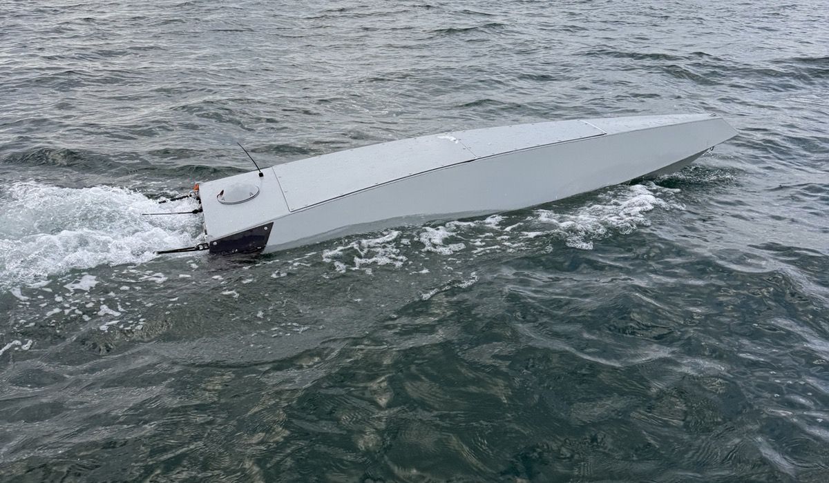
2.5 mThe smaller hull
| Subsystem | Supported | Detail |
|---|---|---|
| Sensors | Any | Electro-optical, infrared, gimbals, radar, AIS, sonar. If it emits data, we will take it. |
| Propulsion | Any | Diesel, outboard, electric pod, waterjet. If it accepts a command, we will drive it. |
| New integration | Days | Not months. The integration layer was built first, so a new payload is an adapter rather than a new system. |
| Custom builds | On request | Tell us the hull, the sensor and the drive. We will tell you what the integration looks like. |
| Autopilot | ArduPilot | Open source, run as shipped. Mature, widely reviewed, and deliberately not our maintenance burden. Station keeping and the stock hold modes come from it, not from us. |
Not knowing is
a third answer
Every depth verdict is safe, unsafe, or unknown.
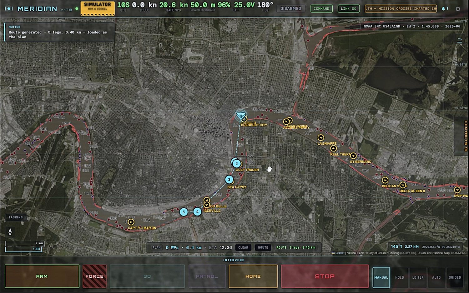
A two-state gate has to call unsurveyed water either safe or unsafe, and both answers are lies. Unknown never blocks a waypoint an operator places by hand, because the absence of a charted shoal is not evidence of one. It does refuse a generated route: proposing a passage across water nothing has verified is a different act.
Every refusal names the chart cell and the record that produced it, and exports as a record rather than a screenshot.
>>> check(29.9330, -90.0600)    Mississippi, mid-channel
SAFE      10.0 m charted, 2.0 m required (1.5 m draft + 0.5 m margin)

>>> check(36.6595, -121.9563)   a charted wreck off Monterey
UNSAFE    charted wreck 0 m away (US3CA1FF/396), depth over it NOT GIVEN

>>> check(29.0000, -95.5000)    Gulf of Mexico, off-folio
UNKNOWN   no charted depth area covers this position
Demonstrated,
and not
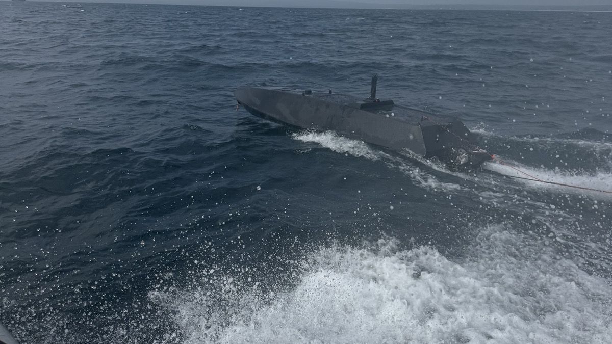
6 mThe larger hull
On the waterDemonstrated
- A vessel in Australia, commanded from a desk in California, over a link we did not own.
- Autonomous waypoint navigation: first single-waypoint transit completed end to end on 18 August 2026, supervised and within visual range.
- Operation under degraded communications.
- Offline console, charts pre-cached, 291,087 tiles served from disk. No third-party tile host is reachable from the shipped console.
- Multi-link command and control, with bandwidth shaped per link.
In simulationNot yet on hardware
- Positioning that holds when GNSS does not.
- Cooperative behaviour across more than one vessel.
- Closed-loop validated. The sensors are not fitted, so none of it is claimed on the water.
We draw these lines ourselves so nobody has to draw them for us.
Cross-track error, speed profile and turn performance were measured on the water over three days in August 2026. Every figure is from MAVLink telemetry rather than a datasheet, and nothing is quoted that was not measured: no power module was fitted, so we hold no energy or efficiency numbers and publish none. Specification sheets on request.
Commercial harbor operations
For crewed workboats such as tugs, barges and ferries: navigation support and operations data, with the crew in command.
The depth gate above checks every planned leg against the hull’s own draft and the charted water before a vessel moves. The same planning and encounter logic is offered as a supervised navigation aid: recommended tracks and COLREGs encounter advisories for the master. A sequenced, gap-evident decision journal keeps the voyage record for KPI reporting, cold-chain documentation and crew mentoring.
Demonstrated in simulation: charting, depth and clearance gating, route planning. In test in simulation: collision avoidance. Proposed for harbor corridors: tide, current-window and bridge air-draft planning. The software is ready for supervised water trials.
Who we work with
Shipyards and boat builders with hulls and no autonomy software. Integrators assembling a USV offering from several vendors. Primes that need a command and control layer not tied to one platform or one sensor. Operators of crewed workboats who want navigation support with the crew in command.
Contact
Custom builds are welcome. You only have to ask.